
-
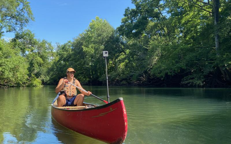 Photo submitted - River explorers, like the man pictured above, will soon have advanced Google imaging for river networks.
Georgia’s rivers are getting a better map. Georgia River Network is partnering with EarthViews to create modern, 360-degree digital maps of Georgia rivers. Similar to the “Street View” feature on…
